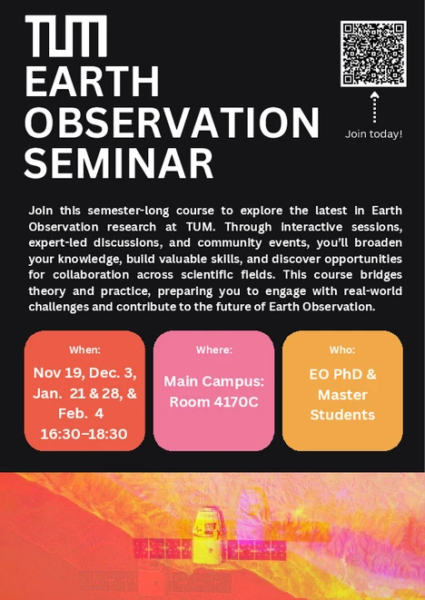
TUM Earth Observation Seminar
Through a series of interactive sessions spread across the semester, students will gain insights into cutting-edge research and cross-disciplinary applications. Each session will be led by a different professorship, featuring discussions on their latest projects and advancements. The course fosters interdisciplinary learning, encouraging students to explore innovative collaborations and broaden their understanding of the Earth Observation landscape at TUM. Beyond the formal discussions, social events will offer further opportunities for networking and engagement, strengthening connections within our community.
By participating in this course, students will develop essential skills in critically analyzing research, applying Earth Observation techniques to real-world challenges, and identifying synergies between different scientific domains. The course is designed to bridge theoretical knowledge with practical insights, empowering students to contribute to the growing Earth Observation ecosystem at TUM.
Methoden der Fernerkundung in den Umweltwissenschaften
In the lecture Methoden der Fernerkundung in den Umweltwissenschaften and the corresponding exercise (both in German), we teach the basics and applications of optical remote sensing in environmental sciences. The course covers the following topics: physical principles of radiation, spectral measurements, spectral properties of vegetation and vegetation indices, image classification, change analysis, image regression and image composites. The exercise will introduce students to analyses in the software QGIS and EnMAP and offer examples in the programming language R for interested students.
Summersemester
M.Sc. Forst- und Holzwissenschaften | M.Sc. Ingeneurökologie | M.Sc. Naturschutz und Landschaftsplanung
Feldmethoden in der Fernerkundung
In the seminar Feldmethoden in der Fernerkundung (in German) we teach in-situ and close-range methods of remote sensing. The course applies all the methods to be learned and gives students the freedom to carry out measurements independently. The methods to be learned include field spectroscopy, terrestrial laser scanning, airborne laser scanning, the use of differential GPS devices and the use of drones. The course concludes with a small research project.
Summersemester
M.Sc. Forst- und Holzwissenschaften | M.Sc. Ingeneurökologie | M.Sc. Naturschutz und Landschaftsplanung
Quantitative Räumliche Analysen
In the seminar Quantitative Räumliche Analysen (in German) we teach the basics of spatial analysis of digital landscape models in the programming language R. The topics include spatial data models, data aggregation and integration, neutral landscape models, analysis of landscape metrics and landscape fragmentation as well as power-laws.
Wintersemester
M.Sc. Forst- und Holzwissenschaften | M.Sc. Ingeneurökologie | M.Sc. Naturschutz und Landschaftsplanung
Science projects
We offer small study projects for the M.Sc. Ingeneurökologie program.